
پرونده:Cheshire UK location map.svg

حجم پیشنمایش PNG این SVG file:۷۷۸ × ۵۹۹ پیکسل دیگه کیفیتون: ۳۱۲ × ۲۴۰ پیکسل | ۶۲۳ × ۴۸۰ پیکسل | ۹۹۷ × ۷۶۸ پیکسل | ۱٬۲۸۰ × ۹۸۶ پیکسل | ۲٬۵۶۰ × ۱٬۹۷۳ پیکسل | ۱٬۴۲۵ × ۱٬۰۹۸ پیکسل.
اصلی پرونده (اسویجی ِپرونده، ابعاد ۱٬۴۲۵ × ۱٬۰۹۸ پیکسل جه، پرونده قایده: ۲٫۲۳ مگابایت)
|
|
این پرونده ویکیتلمبار دله دَره. ونه دلهی بنویشتهئون (مازرونی) ره اینجه سِراق دنه. |
| توضیح |
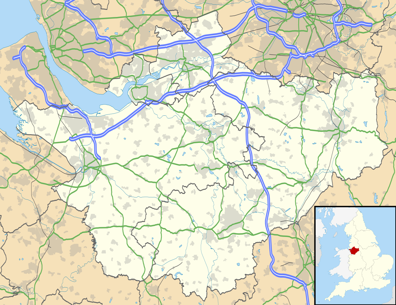
Map of Cheshire, UK with the following information shown:
Equirectangular map projection on WGS 84 datum, with N/S stretched 165% Geographic limits:
|
| تاریخ | |
| منبع |
|
| سازنده | Nilfanion, created using Ordnance Survey data |
| اجازهنومه (این فایل جه أی اٮستفاده هاکردن) |
این پرونده کریتیو کامانز اجازهنومه جه Attribution-Share Alike 3.0 سازگار نییه و منتشر بیه. مجوز: Contains Ordnance Survey data © Crown copyright and database right
|
| دیگر نسخهها | File:Cheshire UK district map (blank).svg - Blank map |
.svg)
فایل تاریخچه
تاریخ/زمونها سَر کلیک هاکنین تا اون گدِر ِنسخه ره هارشین.
| تاریخ/زمون | انگوسگتی | ابعاد | کارور | توضیح | |
|---|---|---|---|---|---|
| إسا | ۲۶ سپتامبر ۲۰۱۰، ساعت ۱۸:۴۲ | | ۱٬۴۲۵ در ۱٬۰۹۸ (۲٫۲۳ مگابایت) | Nilfanion | {{Information |Description=Map of Cheshire, UK with the following information shown: *Administrative borders *Coastline, lakes and rivers *Roads and railways *Urban areas Equirectangular map projection on WGS 84 datum, with N/S stretched 1 |
پروندهی استفاده
این صفحه لینک هِدانه این فایل ره:
پروندهیِ گِردِ استفادهئون
این ویکیون هم این پرونده جه استفاده کانّه:
- کاربرد ar.wikipedia.org دله
- کاربرد arz.wikipedia.org دله
- کاربرد bg.wikipedia.org دله
- کاربرد bn.wikipedia.org دله
- کاربرد ca.wikipedia.org دله
- کاربرد ceb.wikipedia.org دله
- کاربرد diq.wikipedia.org دله
- کاربرد el.wikipedia.org دله
- کاربرد en.wikipedia.org دله
- Cheshire
- Peckforton Castle
- Aldford
- Bunbury, Cheshire
- Chester
- Audlem
- Beeston, Cheshire
- Bollington
- Chester Castle
- Congleton
- Disley
- Lyme Park
- Farndon, Cheshire
- Frodsham
- Gawsworth
- Gawsworth Old Hall
- Great Budworth
- Marston, Cheshire
- Knutsford
- Langley, Cheshire
- Crewe
- Kelsall
- Nantwich
- Runcorn
- Latchford, Cheshire
- Macclesfield
- Woolston, Cheshire
- Daresbury
- Great Sankey
- Winwick, Cheshire
- Penketh
- Ellesmere Port
- Neston
- Croft, Cheshire
- Alsager
- Northwich
- Tattenhall
- Lymm
- Padgate
- Birchwood, Cheshire
سراسری استفاده ره این پرونده جه سٮراق هاده.