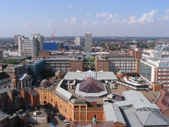
پرونده:Broadgate and Precincts - geograph.org.uk - 554599.jpg
Broadgate_and_Precincts_-_geograph.org.uk_-_554599.jpg (۶۴۰ × ۴۸۰ پـیـکـسهل, فـایـل گـأتـی: ۹۶ کیلوبایت, MIME مـونـد: image/jpeg)
فایل تاریخچه
تاریخ/زمونها سَر کلیک هاکنین تا اون گدِر ِنسخه ره هارشین.
| تاریخ/زمون | انگوسگتی | ابعاد | کارور | توضیح | |
|---|---|---|---|---|---|
| إسا | ۶ فوریه ۲۰۱۱، ساعت ۰۲:۲۶ |  | ۶۴۰ در ۴۸۰ (۹۶ کیلوبایت) | GeographBot | == {{int:filedesc}} == {{Information |description={{en|1=Broadgate and Precincts Taken from the tower of the old cathedral church of St. Michael, looking westwards down the line of the Upper and Lower Precinct shopping areas towards Mercia House[1], the t |
پروندهی استفاده
این صفحه لینک هِدانه این فایل ره:
پروندهیِ گِردِ استفادهئون
این ویکیون هم این پرونده جه استفاده کانّه:
- کاربرد af.wikipedia.org دله
- کاربرد an.wikipedia.org دله
- کاربرد ar.wikipedia.org دله
- کاربرد arz.wikipedia.org دله
- کاربرد ast.wikipedia.org دله
- کاربرد azb.wikipedia.org دله
- کاربرد az.wikipedia.org دله
- کاربرد be-tarask.wikipedia.org دله
- کاربرد be.wikipedia.org دله
- کاربرد ca.wikipedia.org دله
- کاربرد ceb.wikipedia.org دله
- کاربرد cs.wikipedia.org دله
- کاربرد cy.wikipedia.org دله
- کاربرد da.wikipedia.org دله
- کاربرد de.wikipedia.org دله
- کاربرد de.wikivoyage.org دله
- کاربرد diq.wikipedia.org دله
- کاربرد el.wikipedia.org دله
- کاربرد en.wikipedia.org دله
- کاربرد en.wikivoyage.org دله
- کاربرد eo.wikipedia.org دله
- کاربرد es.wikipedia.org دله
- کاربرد eu.wikipedia.org دله
- کاربرد frr.wikipedia.org دله
- کاربرد fr.wikipedia.org دله
- کاربرد fr.wikivoyage.org دله
- کاربرد fy.wikipedia.org دله
- کاربرد ga.wikipedia.org دله
- کاربرد gl.wikipedia.org دله
- کاربرد he.wikivoyage.org دله
- کاربرد hy.wikipedia.org دله
- کاربرد ku.wikipedia.org دله
- کاربرد lld.wikipedia.org دله
- کاربرد lv.wikipedia.org دله
- کاربرد mdf.wikipedia.org دله
- کاربرد nn.wikipedia.org دله
- کاربرد no.wikipedia.org دله
- کاربرد os.wikipedia.org دله
- کاربرد pl.wikipedia.org دله
- کاربرد pl.wikivoyage.org دله
- کاربرد pnb.wikipedia.org دله
- کاربرد ro.wikipedia.org دله
- کاربرد ru.wikinews.org دله
- کاربرد sco.wikipedia.org دله
سراسری استفاده ره این پرونده جه سٮراق هاده.


