
پرونده:Croton dam Brian.H Flickr 102843790 9ae9b1a96d o.jpg
ویشته رٮزولیشٮن ندارنه.
Croton_dam_Brian.H_Flickr_102843790_9ae9b1a96d_o.jpg (۸۰۰ × ۵۹۴ پـیـکـسهل, فـایـل گـأتـی: ۹۶ کیلوبایت, MIME مـونـد: image/jpeg)
|
|
این پرونده ویکیتلمبار دله دَره. ونه دلهی بنویشتهئون (مازرونی) ره اینجه سِراق دنه. |
گزارش
|
 |
اجازهنومه
این پرونده با اجازهنامهٔ کریتیو کامانز Attribution 2.0 عمومی منتشر شده است.
- شما اجازه دارنی:
- همباز بیّن وسّه – پروندهی ِکپی، توزیع و انتقال وسّه
- پشو بزوئن – پروندهی انطباق وسّه
- این شرایط جه:
- تخصیص – شما ونه اتجور بنویسین که اثر ِصاحاب ره نسبت هِدا بَوو، نا اینکه اتی بنویسین که مخاطبون فکر هاکنِن اون آدِم شمه بنویشته ره تأیید کانده.
| This image, originally posted to Flickr, was reviewed on Septemeber 9, 2007 by the administrator or reviewer Lar, who confirmed that it was available on Flickr under the stated license on that date. |
فایل تاریخچه
تاریخ/زمونها سَر کلیک هاکنین تا اون گدِر ِنسخه ره هارشین.
| تاریخ/زمون | انگوسگتی | ابعاد | کارور | توضیح | |
|---|---|---|---|---|---|
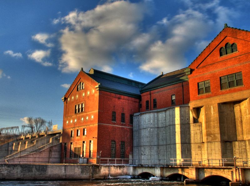
| إسا | ۹ سپتامبر ۲۰۰۷، ساعت ۱۶:۳۰ | | ۸۰۰ در ۵۹۴ (۹۶ کیلوبایت) | Lar | {{Information |Description=(by Brian.H, from the Flickr page) Combo of three handheld images. The left-hand side of this shows where the s/w couldn't match everything up quite right. I really have to remember to throw my tripod in the car! At least I d |
پروندهی استفاده
این صفحه لینک هِدانه این فایل ره:
پروندهیِ گِردِ استفادهئون
این ویکیون هم این پرونده جه استفاده کانّه:
- کاربرد ar.wikipedia.org دله
- کاربرد ceb.wikipedia.org دله
- کاربرد cy.wikipedia.org دله
- کاربرد en.wikipedia.org دله
- کاربرد eo.wikipedia.org دله
- کاربرد he.wikipedia.org دله
- کاربرد hu.wikipedia.org دله
- کاربرد hy.wikipedia.org دله
- کاربرد no.wikipedia.org دله
- کاربرد pl.wikipedia.org دله
- کاربرد pt.wikipedia.org دله
- کاربرد ru.wikipedia.org دله
- کاربرد sr.wikipedia.org دله
- کاربرد tt.wikipedia.org دله
- کاربرد ur.wikipedia.org دله
- کاربرد www.wikidata.org دله