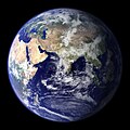
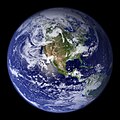
پرونده:BlueMarble-2001-2002.jpg
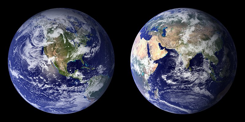
این پیش-پیش سِراق هدائن ِقایده: ۸۰۰ × ۴۰۰ پیکسل. دیگه کیفیتون: ۳۲۰ × ۱۶۰ پیکسل | ۶۴۰ × ۳۲۰ پیکسل | ۱٬۰۲۴ × ۵۱۲ پیکسل | ۱٬۲۸۰ × ۶۴۰ پیکسل | ۲٬۵۶۰ × ۱٬۲۸۰ پیکسل | ۴٬۰۹۶ × ۲٬۰۴۸ پیکسل.
اصلی پرونده (۴٬۰۹۶ × ۲٬۰۴۸ پـیـکـسهل, فـایـل گـأتـی: ۱٫۲۲ مگابایت, MIME مـونـد: image/jpeg)
فایل تاریخچه
تاریخ/زمونها سَر کلیک هاکنین تا اون گدِر ِنسخه ره هارشین.
| تاریخ/زمون | انگوسگتی | ابعاد | کارور | توضیح | |
|---|---|---|---|---|---|
| إسا | ۲۰ دسامبر ۲۰۰۹، ساعت ۲۲:۱۴ |  | ۴٬۰۹۶ در ۲٬۰۴۸ (۱٫۲۲ مگابایت) | Apoc2400 | High resolution. |
| ۳ سپتامبر ۲۰۰۵، ساعت ۰۲:۱۰ |  | ۴۰۵ در ۲۰۳ (۱۹ کیلوبایت) | Saperaud~commonswiki | NASA created these two images to exhibit high-resolution global composites of Moderate Resolution Imaging Spectroradiometer [http://modarch.gsfc.nasa.gov (MODIS)] data. The land surface data were acquired from June through September of 2001. The clouds we |
پروندهی استفاده
این صفحه لینک هِدانه این فایل ره:
پروندهیِ گِردِ استفادهئون
این ویکیون هم این پرونده جه استفاده کانّه:
- کاربرد af.wikipedia.org دله
- کاربرد ar.wikipedia.org دله
- کاربرد ast.wikipedia.org دله
- کاربرد az.wikipedia.org دله
- کاربرد ba.wikipedia.org دله
- کاربرد be.wikipedia.org دله
- کاربرد bh.wikipedia.org دله
- کاربرد bn.wikipedia.org دله
- کاربرد bo.wikipedia.org دله
- کاربرد bs.wikipedia.org دله
- کاربرد ca.wikipedia.org دله
- کاربرد cs.wikipedia.org دله
- کاربرد cy.wikipedia.org دله
- کاربرد da.wikipedia.org دله
- کاربرد de.wikipedia.org دله
- کاربرد diq.wikipedia.org دله
- کاربرد el.wikipedia.org دله
- کاربرد en.wikipedia.org دله
- Marine biology
- Environmental movement
- Environmental science
- Twin Earth thought experiment
- Underwater environment
- The Blue Marble
- Ecosystem diversity
- Habitable zone
- Environmental history
- Origin of water on Earth
- Portal:Marine life
- Portal:Environment
- Portal:Environment/Selected article
- Portal:Environment/Selected article/14
- Sea
- Talk:Sustainability/Archive 8
- User:Nick carson/sandbox
سراسری استفاده ره این پرونده جه سٮراق هاده.


